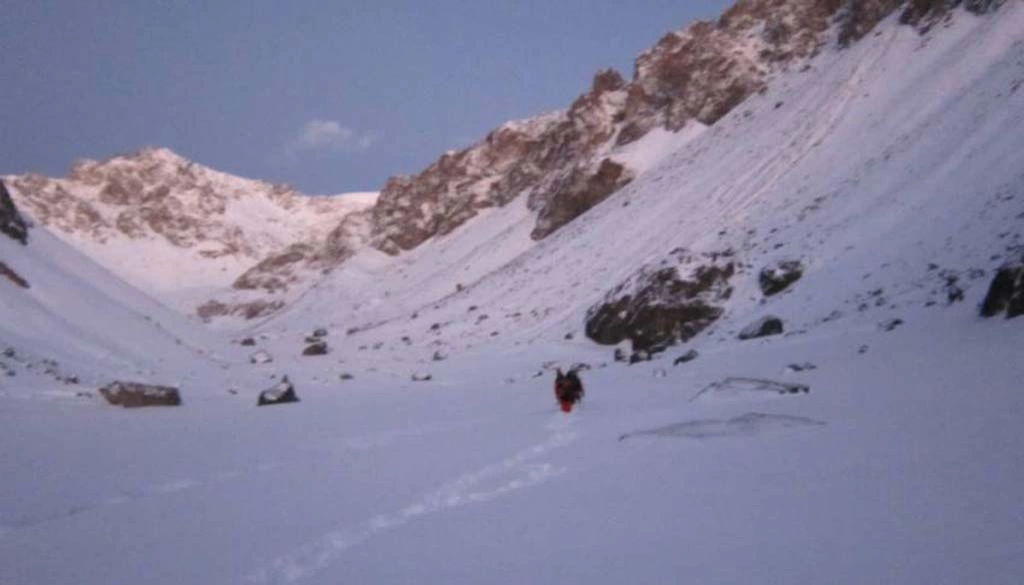
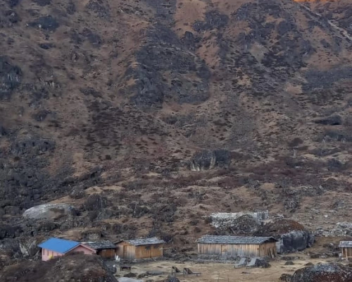
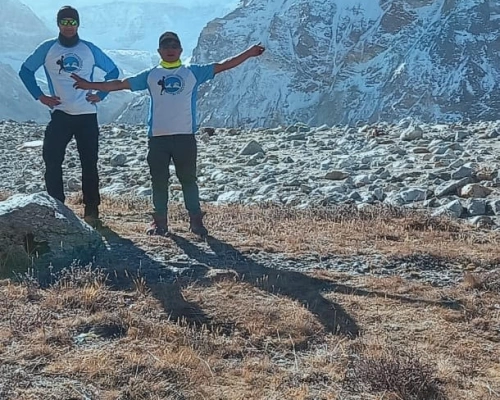
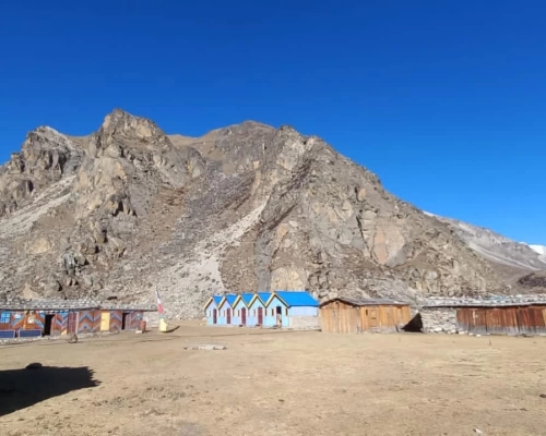
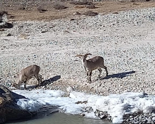
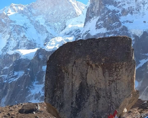
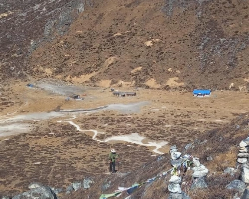
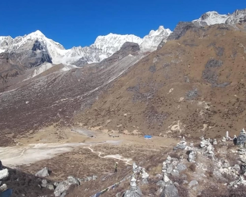
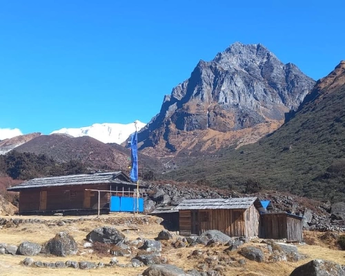
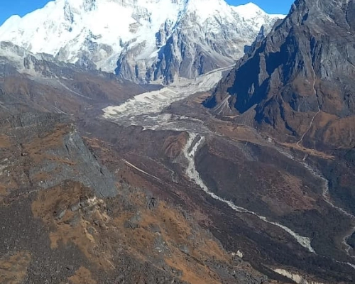
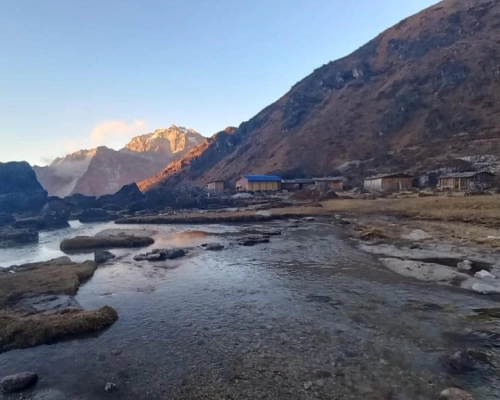
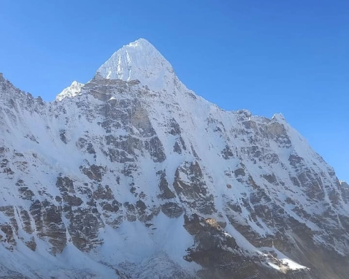
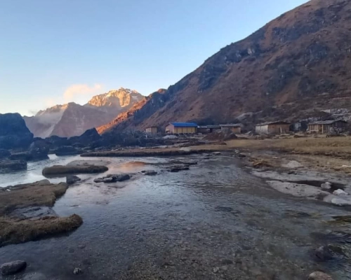
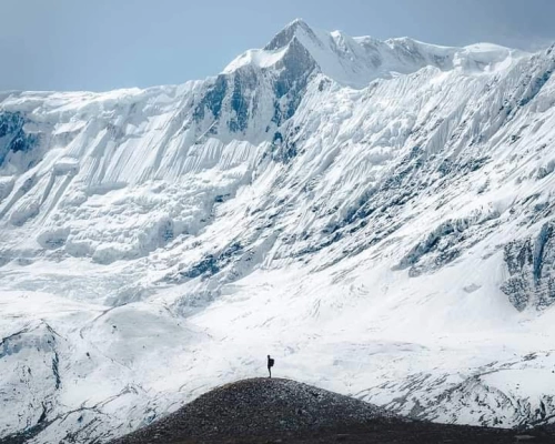
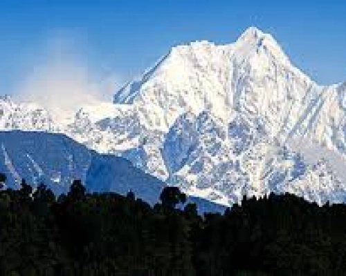
The Great Himalaya Trail is a network of existing treks and trails which together form one of the longest and highest walking trails in the world.Winding beneath the world’s highest peaks and visiting some of the most remote communities on earth; it passes through lush green valleys, arid high plateaus and incredible landscapes. Nepal’s GHT has 10 sections comprising a network of upper and lower routes (see this map of Nepal), each offering you something different, be it adventure and exploration, authentic cultural experiences, or simply spectacular Himalayan nature. The 1,700 km Nepal section of the trail begins near Kanchenjunga on the eastern border and heads west navigating the domains of eight of the world’s 8000m peaks, from the beautiful but lesser-known Makalu to the famous Everest. It is not the easiest nor most direct route across Nepal, rather a route through the Greater Himalaya. The Nepal section ends in Humla on the Tibetan border.The route offers an incredible diversity in terms of landscapes, flora & fauna, people and culture: from snow leopards to red pandas; from sub-tropical jungle to fragile high-altitude eco-systems; from the famous Sherpa’s, to Shamanism, to the ancient Bön Buddhist culture found still in Dolpa.
The Great Himalayan Trail - 151 Days
- Duration 151 Days
- Trip Grade Moderate to Strenuous
- Starts/Ends Kathmandu to Kathmandu
- Group Size 2-10
- Max. Altitude 5545 M.
- Best Season March, April, May and September, October, November
Itinerary
We will take an early flight from Kathmandu to Taplejung (or Bhadrapur, then drive to Taplejung) (roughly 40min). We will then begin our trek to Lali Kharak. Overnight in guest house in Lali Kharak.
Today the trail first ascends to a ridge before dropping steeply through Shimu to a suspension bridge across the Phawa Khola, where there is a good swimming place. We then will climb to the Limbu village of Kunjari at 1700 meter and continue through wheat fields to a Gurung settlement on a 2240 meter high pass. From here we have our first views of Kanchenjunga. The trail enters the Kabeli Valley where we spend the next two days climbing up and down, in and out of ravines and over ridges. Today’s endpoint is in the village of Khesewa.
Our trek continues through the Kabeli Valley, passing a few spectacular waterfalls. After descending steeply through rice terraces into a side canon, we cross the Khaksewa Khola on a long suspension bridge at 1540m and then climb back to Mamanke. This is a prosperous Limbu village with bhattis (tea shops), and a large school.
This day will bring us a lot of jumping from stone to stone, as we first have to cross the Tenguwa Khola stream. We climb steeply up to a ridge marked by a chhorten and prayer flags. Going down from here to the Kabeli Khola will be another exercise of rock-hopping over boulders, treeroots, and intersecting stream channels as we head upstream. We then climb gently to Yamphudin, a mixed community of Sherpas, Limbus, Rais, and Gurungs. Overnight in tea house.
After crossing the Amji Khola river we will leave this river for now and continue our way on a trail that heads straight uphill through fields of corn and barley to Dhupi Banjyang, a pass at 2540 meters. We then descent through ferns surrounded by big trees to the Amji Khola river, where we will find a tea house to stay.
From the stream the trail makes a steep climb through bamboo forests to Chitre at 2920 meter. After arriving here the ascent is less strenuous passing through a forest of pines and rhododendron to a pond at Lamite Bhanjyang (3410m). From this ridge we follow a steep set of switchbacks leading downhill through damp orchid-filled forests, crossing streams and isolated clearings used by herders. We stay above the wild river and follow it upstream to Torontan, where there are a few campsites close to the river or a little further ahead near a few caves. Continuing on, we reach to Tseram, where we stay the night.
After crossing the Yalung glacier into the visit Ramche village(4620m) then simbhu khola into the simon la pass (4660m) to the Mirgin La pass,. over tea house.
We camped slightly before north kanchenjunga glacier to Ghunsa river towrads rhododendron forests then Mirgin La Pass to rich Ghunsa.
It takes about 6 and a half hours to reach Khambachen (4099m) from Ghunsa.
Kambachen is dense settlement of people who follow Tibetan culture. You will be fascinated with the art and architecture of Khambachen, which is inspired by Tibetan cultures. Overnight stay at guesthouse in Khambachen.
Climb through the rocky boulder fields on the hillside along the riverbank until we reach a waterfall. Cross the bridge to Ramtang, and cross more small landslides before finally arriving to Lhonak. Overnight stay at guesthouse.
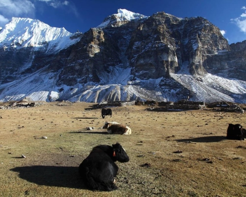
At morning start to treks to North base camp (5243m). The stunning peak which is considered as a main peak of Kanchenjunga and landscape of remaining peaks which make one of the largest mountains in the world.An interesting thing to see is the water that flows all the time from the gorge.You should trek back downward till Lhonak where you are delighted by gazing Mountains and Yaks. Overnight in Lhonak.
Now we descend by traveling through the jungle along the Kambachen River. In some places, we can see the mani walls and prayer flags hanging over the trees. At one point, we'll cross a wooden bridge.
After breakfast trek to Nanggola pass then kharka.over night to camp sheung.
Trek to Olangchung Gola
For the next three days, we pass through complete wilderness. For this reason, it is better to hire a local guide to avoid getting lost. However, piles of stones along the way act as sign posts, showing us our direction. After a walk of two and half hours, we reach a place called Jadak (3636m) for lunch. A walk of three hours on snowy track will take us to Upper Langmale (3893m). Overnight at a camp site.
Keep an eye out for the elusive snow leopard, which have been sighted numerous times from this trek. The path runs along the Tamor River and on the other side of the river lies a dense rhododendron forest. After walking about three hours, we reach Tangchetar (4203m) for lunch. Another three hours after lunch will lead us to our camp site at Pass Camp(4747m). Overnight at campsite.
This is the most difficult and most memorable day of this trek. The trail passes through the Lumba Samba Peak (5200m). It is better to start early as it will be difficult to cross the peak after noon. We will take a packed lunch, as there are no good camping sites around. After about four and half hours from Pass Camp, we climb the Lumba Samba Peak and descend down to Chauikharka (4594m) for night’s stay. Overnight at camping site.
The trail is downhill from Chaurikharka and we come back to civilization after our three day wilderness walk. After about three and half hours, we came across two roads - one to lyasha in Tibet and the other towards Thudam. We have our lunch here. A walk of about three hours takes us to Thudam for the night. Thudam (3500m) is a small Sherpa village with around 30 houses. Overnight in homestay.
Today's trek runs along the banks of Chunjung Khola. The trail offers panoramic views of peaks in the Makalur range. On the way, you see lot of small bushes and bamboo groves-the best habitat for red panda. It is better to carry packed lunch, as it is difficult to find drinking water or food along the trail. After a walk of about six hours from Thudam, we reach Kharka(2877m) for the night. Overnight at camp site.
Today we pass through dense rhododendron forest. As there are no villages on the way and also there are numerous side trails, it is better to hire a local guide to avoid getting lost. After a walk of about three hours from Kharka, we reach a place called Chaurikharka for lunch. From Chaurikharka, we can clearly see Chyamthang (2229m), Arun River, Ridha Village and the road that leads to Kimathanka. After lunch, the trek is all downhill for about three hours until we reach Arun River. After crossing the suspension bridge, the trek is uphill for about an hour until Chamthang – our destination for the day. Chyamthang (2229m) is a small yet beautiful village with stone houses.
Sherpas make up for most of the population in the village. Overnight at homestay.
Today's walk is easy, as chirping of birds make you feel refreshed. This trail is one of the popular places for birding. Arun Valley is home to various beauiful bird species. A walk of about two and a half hours from Chyamthang takes us to Gimber Village (1585m) for lunch. Gimber Village offers spectacular view of snow-capped peaks in the Makalu range. From Gimber, the walk is easy and after a trek of about three hours we reach Hatiya (1595m) for the night’s stay. Hatiya is the entry point to the Makalu National Park. Overnight at tea house or homestay.
Today, we will move to Gaon. Particularly on that day we have to walk a long distance from Seduwa to Gaon (2065m). Along the way, we will be exposed to the beautiful flora and fauna found in the region. Overnight stay at a tent in Gaon.
Today, we will be moving to Khongma (3562m) from Gaon. We have an early start the day as we climb almost 1500 meters over the day. It is going to be a long day’s trek, taking roughly 7-8 hours . The trek will, however, be adventurous as the trail takes us to several amazing landscapes. Overnight stay at a tent.
From Khongma we will climb Shipton La and from there we will descend to Mumbak (4200m). In Mumbuk, we will take a short day hike, crossing the Shipton La. Overnight stay at a tent.
For the trek to Yangri Kharka, we have to move early in the morning. It is best to cross the Dhampu Pass before sunrise in order to ensure the best weather and views. Seeing the entire Annapurna Range being touched by the sun with the valley resting below in the darkness is something you will never forget. To get to Yangri Kharka takes about six hours. Overnight stay at tent.
For the trek to Shershong (4650m), we will again start moving in the morning, after taking a breakfast in Yangri Kharka. It takes about six hours in total. Shershong is an absolutely gorgeous place to stay for the night. We're surrounded by a desolate alpine landscape with a 360 degree view of the pristine Himayala mountains. Overnight in Shershong.
Today we move even higher up until we reach Makalu Base Camp. The path to Makalu Base Camp is difficult in nature, yet endlessly rewarding. We are at the base of some of the world's tallest mountains. Overnight stay at a tented camp.
Today is allocated for resting and acclimatizing at the Base Camp. This is a crucial part of the itinerary, as these days of acclimatization will help us to get used to the high-altitude conditions as well as prepare ourselves for the expedition that lies ahead. Overnight stay at a tented camp.
Trek to sherpani col.
Trek to sherpani col to west col
Trek to West col to Baruntse base camp.
Trek to Amphulapcha phedi.
Trek to pass camp to high camp phedi.
Trek to chukung valley.
This itinerary is not suited for you? Plan your own trip.
Dates and Prices
| Date | Price | Availability | ||
|---|---|---|---|---|
| Start DateStarts: ThursdayApr 17, 2025 | End DateEnds: SundaySep 14, 2025 | PricePriceUS$0 | StatusStatusAvailable | |
| Start DateStarts: MondayApr 21, 2025 | End DateEnds: ThursdaySep 18, 2025 | PricePriceUS$0 | StatusStatusAvailable | |
| Start DateStarts: ThursdayApr 24, 2025 | End DateEnds: SundaySep 21, 2025 | PricePriceUS$0 | StatusStatusAvailable | |
| Start DateStarts: MondayApr 28, 2025 | End DateEnds: ThursdaySep 25, 2025 | PricePriceUS$0 | StatusStatusAvailable |
